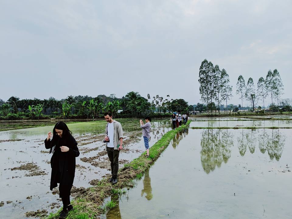
Senior Architecture & Urban Design Studio in Chiangmai, Thailand

From January 6 to 14th, twelve Parsons Architectural Design and Urban Design students and ten students from the International Design and Architecture program at Chulalongkorn University in Bangkok participated in an international workshop in Chiang Mai, Thailand. The theme of the workshop, #watchingthericegrow grew out of SCE Professor Brian McGrath’s sabbatical leave research during the 2016-17 academic year. In a recent pop-up exhibition at Parsons, McGrath displayed a selection of drone and hand-held video, cadastral maps and digital photo montages documenting a fifteen-kilometer string of villages, rice paddies, and the ancient “people’s irrigation system: that ties them together. The research also assembled dozens of detailed ethnographies of farming villages in Chiang Mai as a base line in uncovering the history of a landscape that has only been recently mapped. The videography follows both the trajectory and speed of a survey mostly conducted by bicycle, while documenting the community weirs in slow motion stable shots, which, along with the village temples, are the most important architectural artefacts. The drone footage, satellite and government cadastral mapping provide a critical resource to the famers spatial cognition, where local knowledge is deeply embodied. New government plans and real estate developments, tied to newer mapping technologies, remain out of the villager’s reach. To frame the research under the question raised by Claudio Sopranzetti in his recent ethnography of the politics of mobility in Bangkok: “who owns the map”?
Sopranzetti will also be speaking at Parsons SCE on March 1st, 6-8pm. For more information and registration, please visit Here.
Image credit:
Top: Jeng Pheera
Bottom: Brian McGrath
